
BOONE, Iowa—The National Weather Service has updated information about the next round of snow. A Winter Storm Warning has now been issued and includes the Boone and Boone County, beginning this afternoon.
URGENT - WINTER WEATHER MESSAGE
National Weather Service Des Moines IA
1105 AM CST Thu Feb 8 2018

...Moderate to Heavy Snow Arriving This Afternoon and Evening...

.Snow will overspread much of northern Iowa this afternoon and
then settle slowly southward into central Iowa tonight and early
Friday morning. Snowfall rates will be moderate to heavy at times.
In addition, northerly winds will increase late tonight into
early Friday morning with areas blowing and drifting snow
expected, especially in rural, open areas.

1105 AM CST Thu Feb 8 2018

...WINTER STORM WARNING IN EFFECT FROM 3 PM THIS AFTERNOON TO
9 AM CST FRIDAY...

* WHAT...Heavy snow expected. Total snow accumulations of 4 to 7
  inches are expected. Northerly winds will increase to 15 to 25
  mph tonight and will create areas of blowing and drifting of
  snow.

* WHERE...Portions of Central Iowa mainly along the Highway 30
  corridor.

* WHEN...From 3 PM this afternoon to 9 AM CST Friday.

* ADDITIONAL DETAILS...Plan on difficult travel conditions,
  including during the morning commute on Friday. Be prepared
  for significant reductions in visibility at times.

PRECAUTIONARY/PREPAREDNESS ACTIONS...

A Winter Storm Warning for snow means severe winter weather
conditions will make travel very hazardous or impossible. If you
must travel, keep an extra flashlight, food and water in your
vehicle in case of an emergency. The latest road conditions for
the state you are calling from can be obtained by calling 5 1 1.
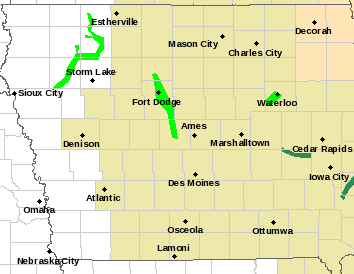
(source National Weather Service)